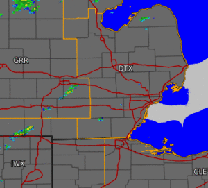
A cold front associated with a strong low pressure system swept across the state on Friday, May 4th. This system brought both a quick round of severe thunderstorms along the east side of the state during the early afternoon, along with high winds not associated with thunderstorms that led to a High Wind Warning for much of the day. Strong winds in excess of 50 mph were seen across southern portions of lower Michigan. As a result, numerous reports of downed trees, power lines, and minor structure damage were received from throughout the region. Power outages across SE Michigan impacted an estimated 300,000+ customers. Winds quickly subsided behind the cold frontal passage in the early evening.


